


NASA’s most advanced radar ever will track earthquakes, landslides, and ice loss from space
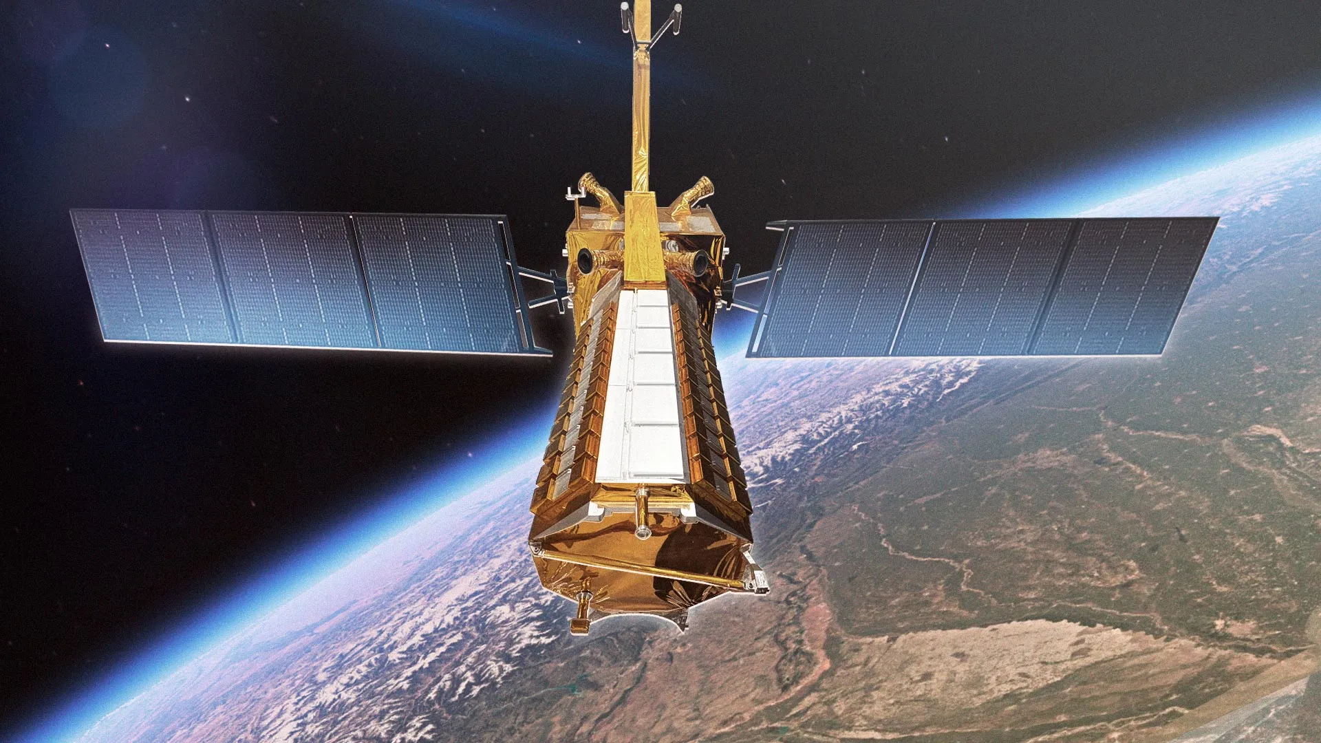
NASA and ISRO have launched NISAR, a groundbreaking radar satellite that will monitor natural disasters and environmental changes across Earth. It can scan land and ice surfaces every 12 days, offering scientists vital data on earthquakes, floods, melting glaciers, and more.
What's Your Reaction?
 Like
0
Like
0
 Dislike
0
Dislike
0
 Love
0
Love
0
 Funny
0
Funny
0
 Angry
0
Angry
0
 Sad
0
Sad
0
 Wow
0
Wow
0